
Construction surveying, UAV mapping and geospatial data — delivered by an experienced surveying professional with the technology to match any tier-1 team.
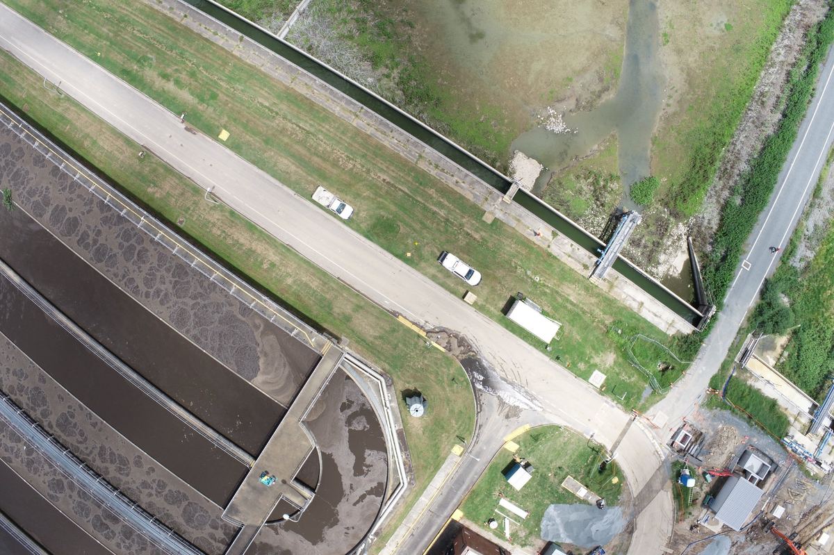
Ian Clerke is a Gold Coast-based surveying professional with a Bachelor of Science (Surveying) and extensive experience across civil construction, infrastructure, and land development projects throughout SEQ and Northern NSW.
Available for immediate engagement on a white-label or subcontract basis — seamlessly integrating with your existing team and workflows, under your brand if required.
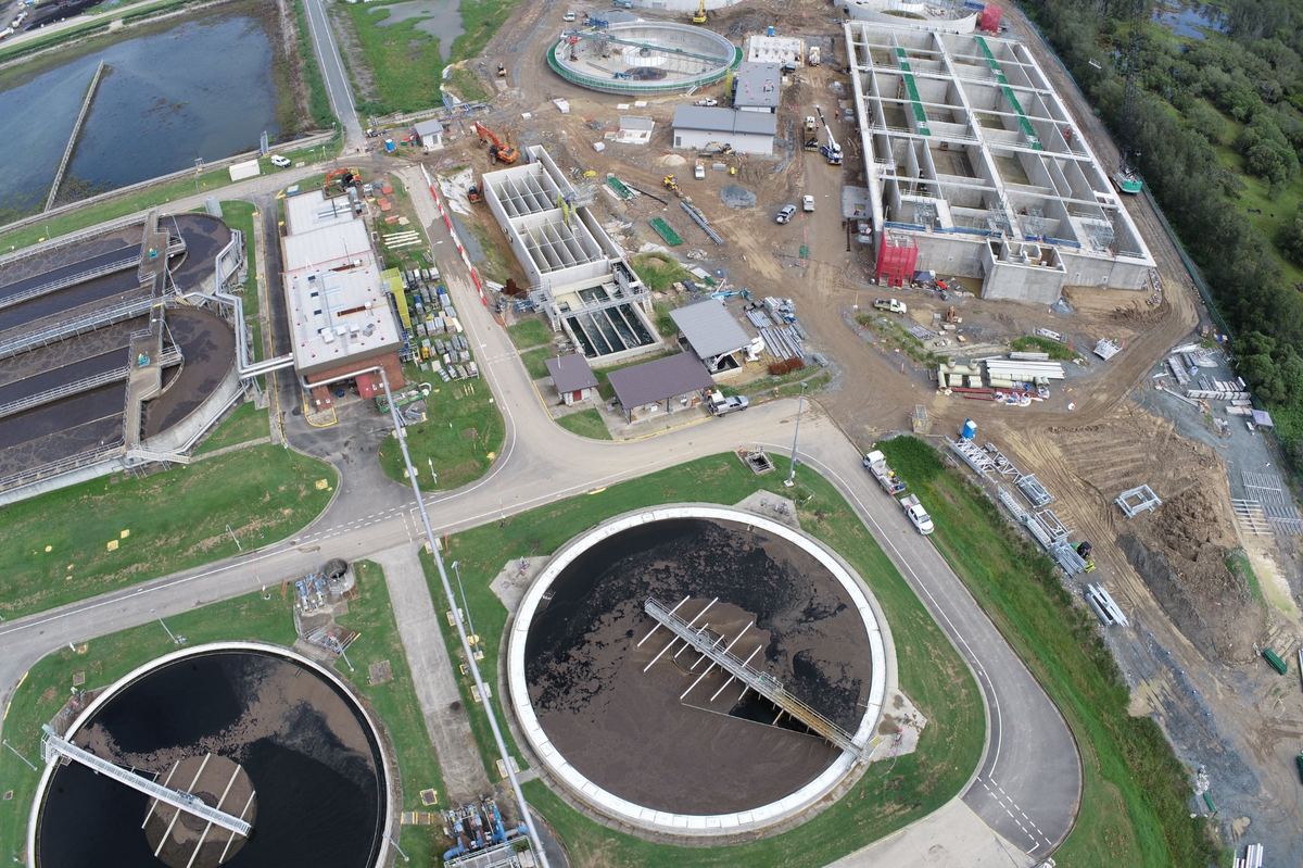
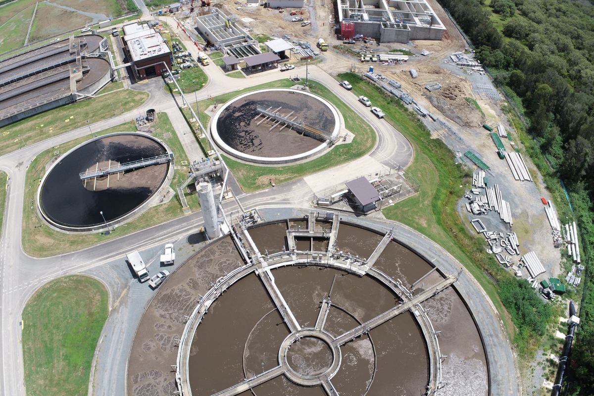
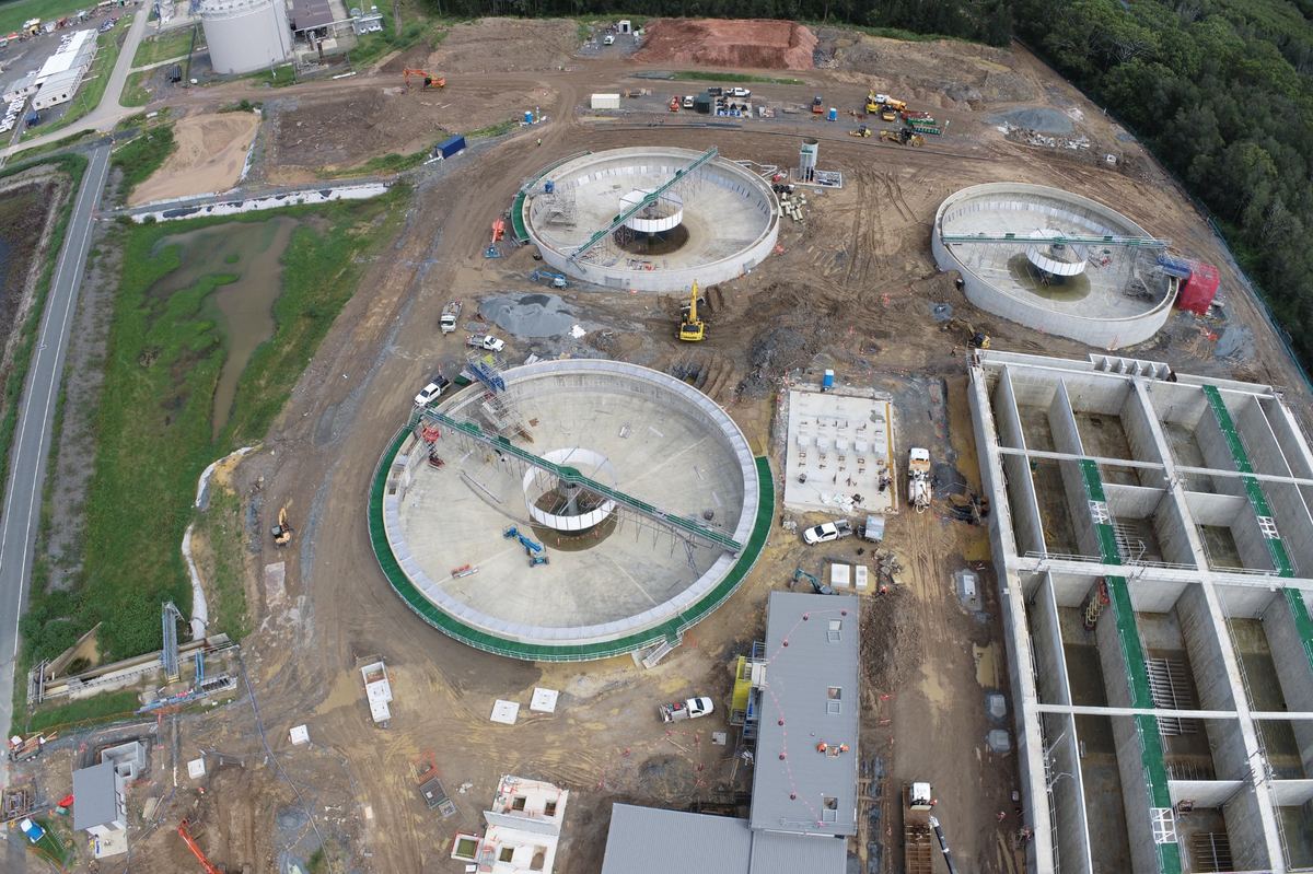
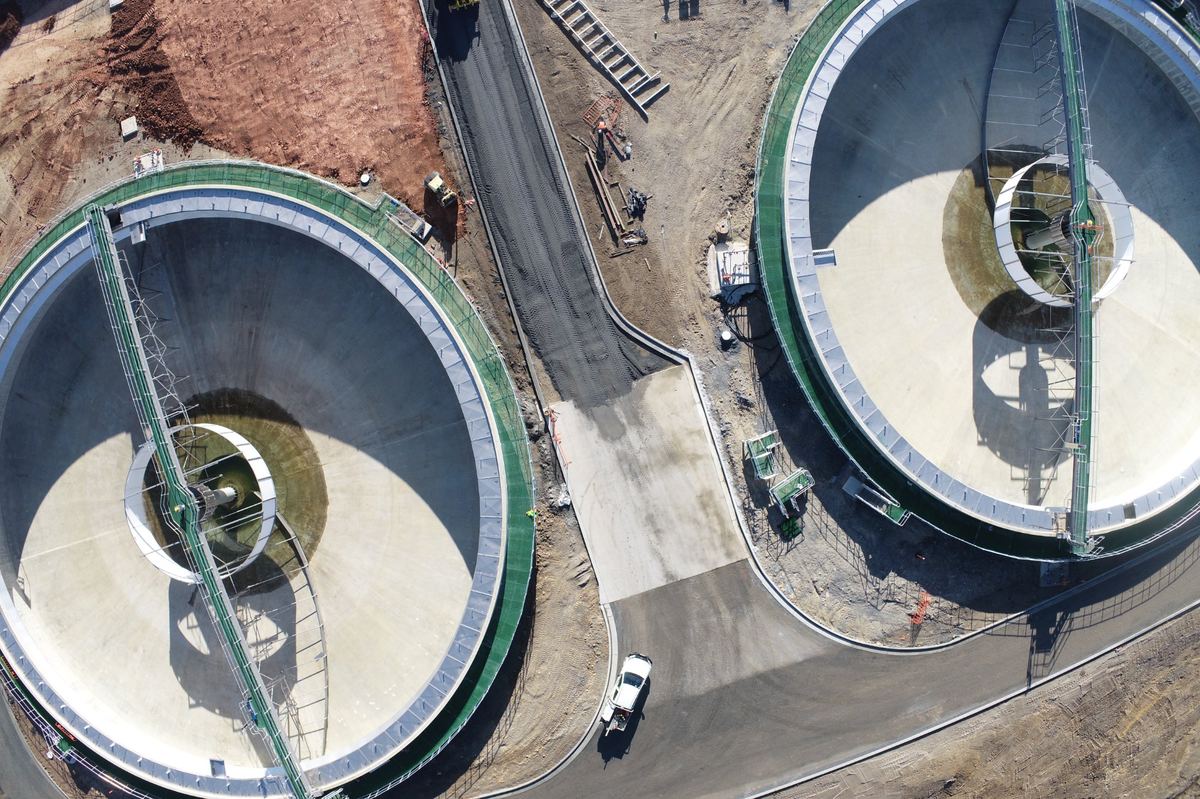
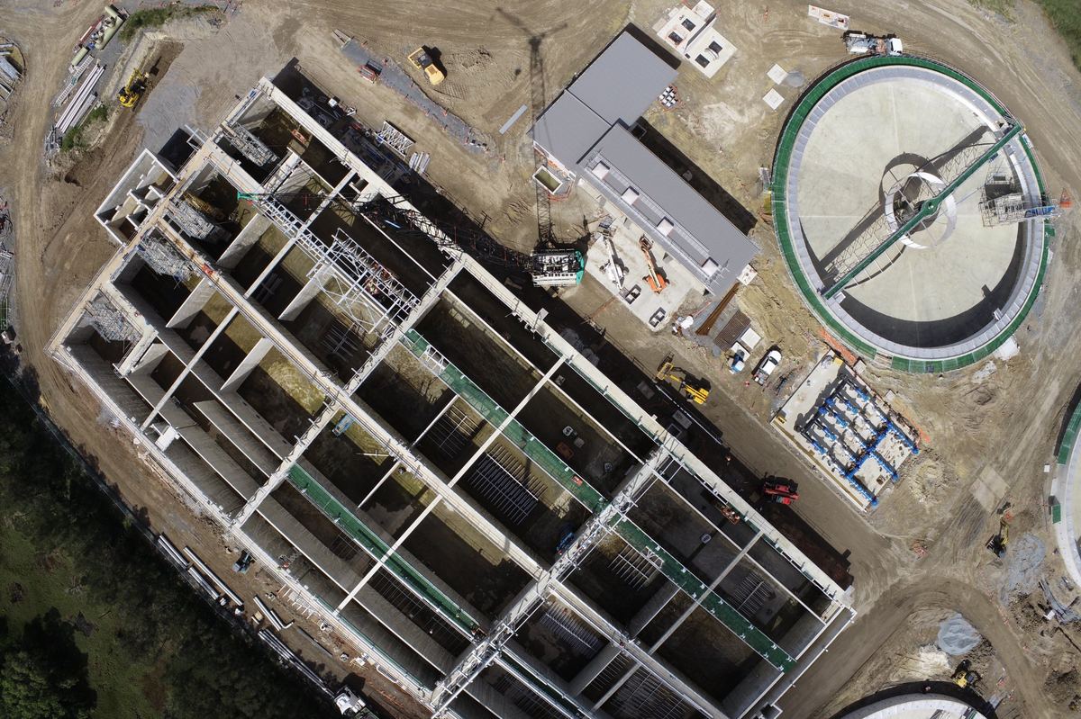
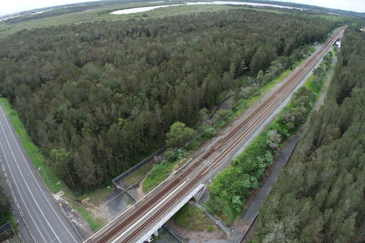
From major motorway corridors to sewage treatment plant upgrades, Ian brings the accuracy, professionalism and equipment capability expected on tier-1 projects.
CASA-licensed drone operations with the DJI Phantom 4 RTK. High-resolution orthomosaics, point clouds, digital elevation models and volume calculations from a single flight.
Precise layout for civil, infrastructure, and structural works using Leica Robotic Total Station. One-man operation — efficient and accurate.
Conformance surveys for roads, drainage, structures and earthworks. Deliverables formatted to project specification and client requirements.
Ground-based and UAV-derived topo surveys. 12d Model deliverables ready for design and construction use.
Accurate cut/fill and stockpile volumes from drone-derived surface models — faster, safer, and more comprehensive than traditional methods.
Control surface preparation and machine control setup and verification. Integrated with site earthworks management workflows.
Construction Geomatics provides a complete end-to-end UAV mapping service. From CASA-compliant flight operations through to processed, georeferenced outputs ready for use in design, reporting, and project management — all in-house, all from one operator.
Site assessment, airspace authorisation, GCP layout and flight mission design optimised for accuracy and coverage.
DJI Phantom 4 RTK with onboard RTK GNSS positioning. Overlapping imagery captured at planned GSD.
Pix4D photogrammetric processing. SfM point cloud generation, image alignment and georeferencing to GDA2020.
12d Model integration — DTM, contours, orthomosaic, and volume surfaces formatted to specification.
Client-ready package: PDF plots, CAD files, point cloud (LAS), orthomosaic (GeoTIFF), and volume reports.
Looking for an experienced surveyor on a white-label or subcontract basis? Ian is available for immediate engagement on civil, infrastructure, and UAV mapping projects across the Gold Coast and South East Queensland.
Scan for full profile & credentials